Aerial imagery and terrain datasets now available for download
The June 2023 aerial imagery and terrain datasets are now available for download from Geosciences Australia’s Elevation Data platform (ELVIS). These datasets include aerial photos and elevation data covering Lord Howe Island and Ball’s Pyramid. They are free to use and share under a Creative Commons Attribution license.
To access the datasets, visit the ELVIS website and click the "Help" button in the top right corner for guidance on downloading the data. The downloaded aerial imagery can be viewed using standard photo applications or mapping software. Please note that the ELVIS platform is not used for viewing imagery online; it is designed for downloading the latest datasets.
Due to a system upgrade by the Spatial Services team within the NSW Department of Customer Service, new aerial imagery cannot be added to SIX Maps at this time. However, high-resolution aerial imagery from 2011 is still available on SIX Maps, allowing users to view detailed aerial imagery alongside lot boundaries for planning purposes.
This project was a collaboration between the Lord Howe Island Marine Parks team within the NSW Department of Primary Industries and Regional Development, Spatial Services, and LHIB staff. We thank all parties for their efforts and contributions to delivering this important work.
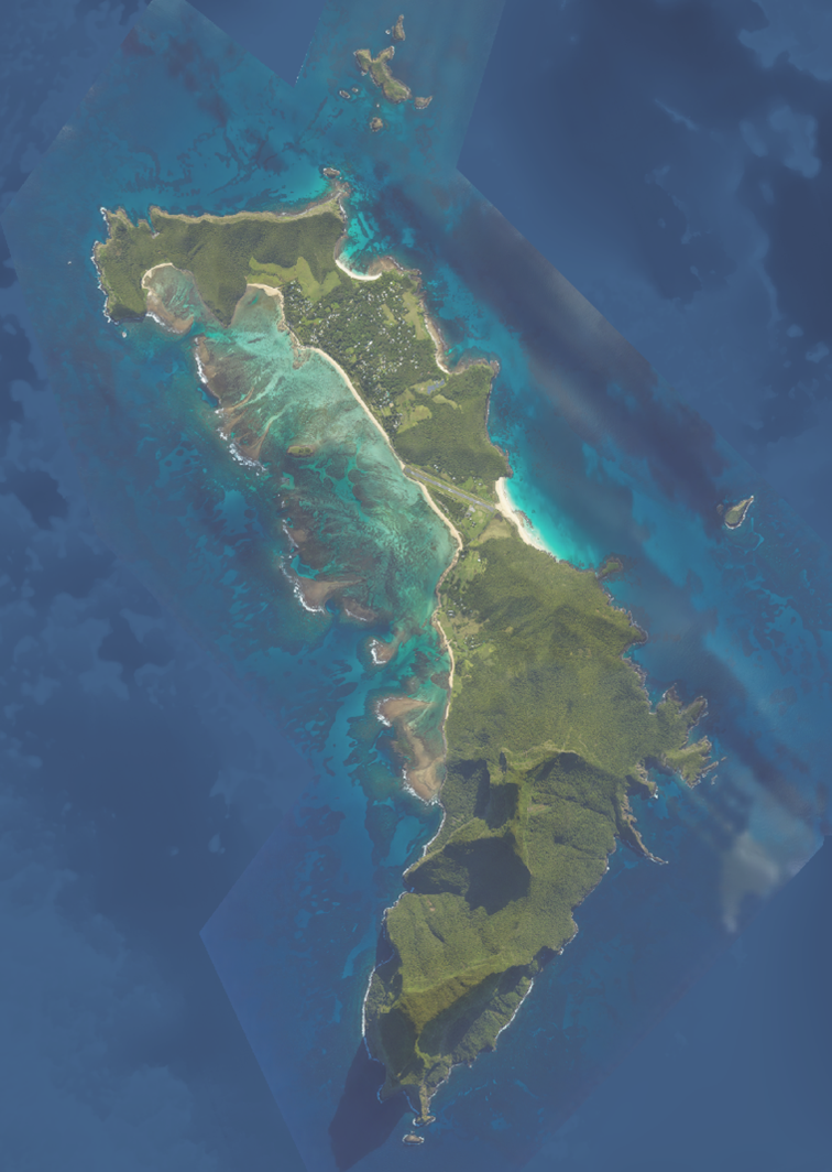
Whole Island
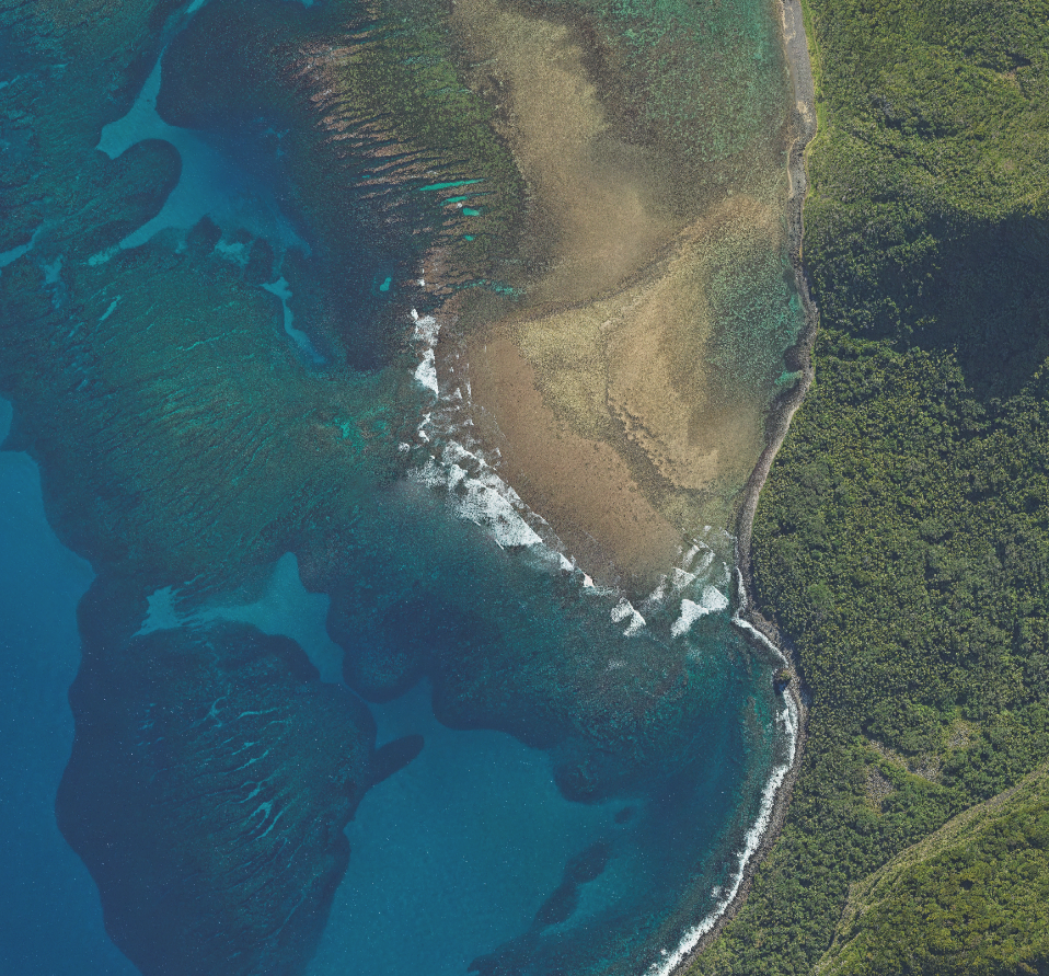
Little Island and The Potholes
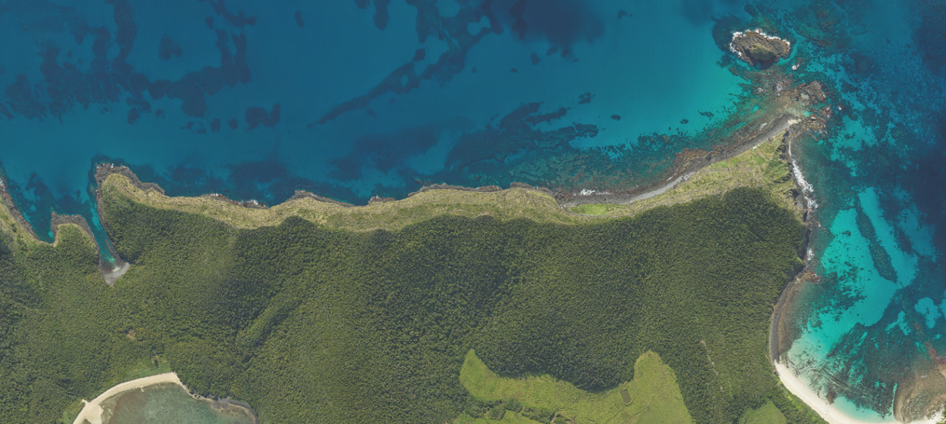
Malabar and Neds Beach
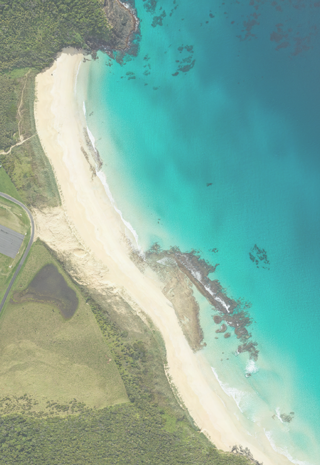
Blinky Beach
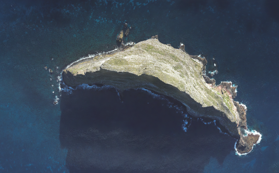
Balls Pyramid